Air Traffic
Graphies archive of this visualization.
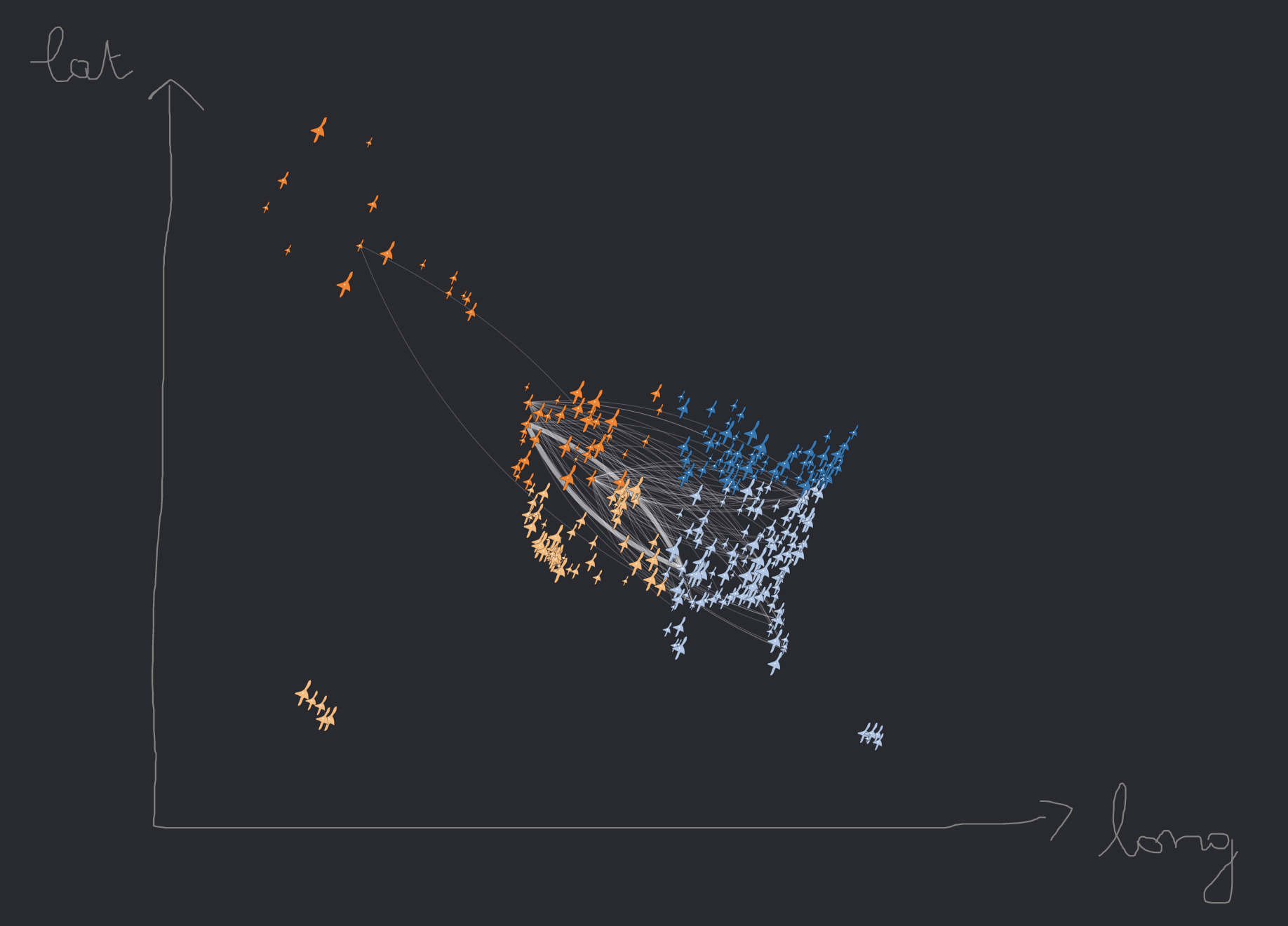
Air traffic between North West and South West in the USA. Nodes represent airports. Nodes are geolocalized, using their latitude and longitude attributes. Node size and link stroke width depend on passengers traffic (number of passengers transiting in airports and routes per day). (JSON dataset: USA air traffic - daily statistics)